


Clouds will stick around through tonight with some drizzle possible overnight. Temperatures will be at or above normal through the start of next week. Colder temps returning for the holiday.
No major storms or weather drama as we head into the weekend. Just a consistent and mellow set-up.
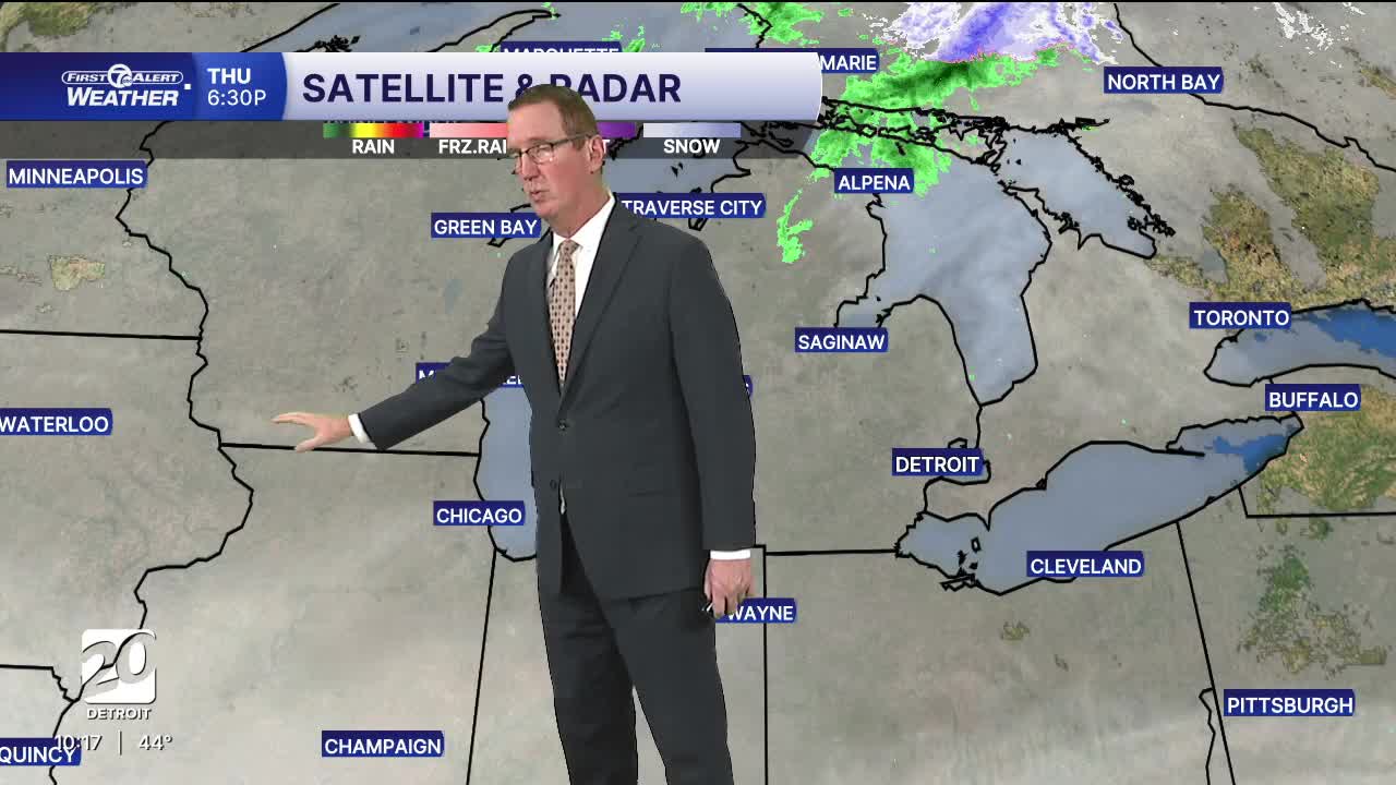
Watch the full forecast below
Friday will feature mostly cloudy skies again with another mild push of air and a high near 52° and a relatively cool overnight low around 32. The abundant cloud cover will keep temperatures steady for much of the day, making it feel warmer than earlier in the week. This will make Light Up the Season cool but not cold this time around. It will stay dry too, so come down and say hello!
Saturday will start off chilly in the morning as some sun tries to make a return, especially north of Detroit, with highs near 46°. Sunday brings brighter skies and the warmest day of the the weekend with highs around 55°. This warming trend is a great window for outdoor tasks or a relaxed weekend outing.
**Big changes anticipated for next week starting Tuesday as rain returns with colder air following closely behind. High temps will drop from the 50s to the 30s from Tuesday to Thanksgiving Day.**
Tonight: More clouds with drizzle possible. Lows around 40°. Winds: SW 5 mph
Friday: Lingering clouds with highs back in the low 50s including 52° in Detroit. The best chance of a few looks at the sun will be north of Detroit. Winds: WNW 5-10 mph
Saturday: Partly sunny with highs in the mid 40s. Winds: N 5 mph.
Connect with 7 First Alert Meteorologists on Facebook and X:
Facebook: Dave Rexroth , Hally Vogel, Marisa Woloszyn, Mike Taylor
