


It will be another bright day Tuesday after a cool start. The next rain chance will be back Wednesday night through Thursday night. Leftover showers could hang on through the weekend too.
A storm system will push in clouds starting late Wednesday before rain moves in that night and Thursday. The center to the storm will pass to our east, leaving southeast Michigan on the western edge of the storm system. This means rain will likely be heaviest along a line from Port Huron-Detroit-Monroe, with lighter rainfall out towards Pontiac-Howell-Adrian. Showers will continue through the day Thursday with highs in the low 50s.
The storm will move to the northeast Friday, but a few more showers are possible in the afternoon/evening. Be prepared for showers for Trick-or-treating, but it shouldn't be a washout.
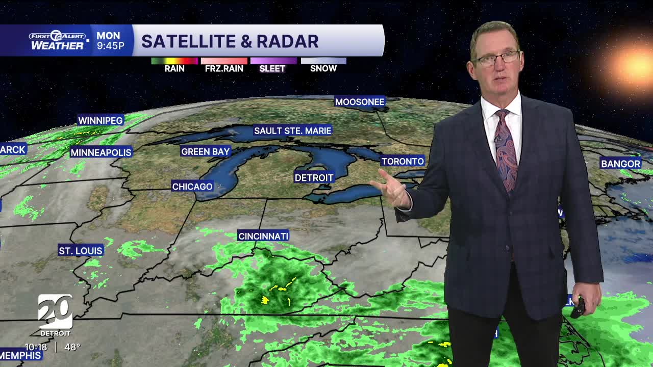
Watch the forecast below
Tonight: Mostly clear. Lows in the mid 30s outside Detroit to 41° in the city. Winds: ENE 10-15 mph.
Tuesday: Mostly sunny with highs in the mid 50s after a chilly start. Winds: ENE 10-25 mph.
Wednesday: Partly sunny and dry. The next rain chance comes in the late evening. Highs will stay in the mid 50s with 56° in Detroit. Winds NE: 15-25 mph.
Connect with 7 First Alert Meteorologists on Facebook and X:
Facebook: Dave Rexroth , Hally Vogel, Marisa Woloszyn, Mike Taylor
