
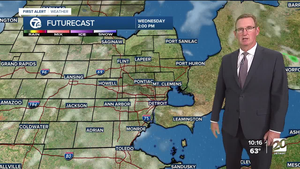


A dry Wednesday ahead with more sunshine early and a few clouds. A cold front will bring rain and a few storms Thursday, starting in the morning. A quarter inch of rain is likely. Cool temps stay.
High pressure builds in Friday and will stay through Labor Day weekend. Highs will be chilly Friday and in the mid to upper 60s, but highs climb back into the low to mid 70s Saturday and Sunday. If you're heading to the Michigan State game Friday night, be prepared for game-time temperatures in the low to mid 60s, but with mostly clear skies. For the Michigan game Saturday night, temperatures will be in the mid to upper 60s with mostly clear skies.
Watch the full forecast in the video player below
Tonight: Mostly clear with lows in the low to mid 40s to around 50° in Detroit. Winds: WNW 5-10 mph.
Wednesday: Sunny start, partly sunny in the afternoon with highs in the low to mid 70s. Winds: W 5-10 mph.
Thursday: Rain with a chance of thunderstorms. Highs near 70°. Winds: SW 10-20 mph.
Connect with 7 First Alert Meteorologists on Facebook and X:
Facebook: Dave Rexroth , Hally Vogel, Marisa Woloszyn, Mike Taylor
