


Tonight should be warm and muggy, but probably dry in terms of storms. We have a slight chance of more storms tomorrow afternoon and evening. There is a better chance returning Wednesday/Wed. night.
Watch the full forecast:
A cold front moves through Wednesday bringing more showers and storm chances, especially Wednesday night. High temperatures climb into the mid 80s.
Cooler and drier air arrives Thursday and continues into this weekend. High temperatures will be in the upper 70s, to near 80° with lows in the 50s.
Tonight: It will be mostly clear and muggy. Lows in the upper 60s to low 70s. Winds: Light.
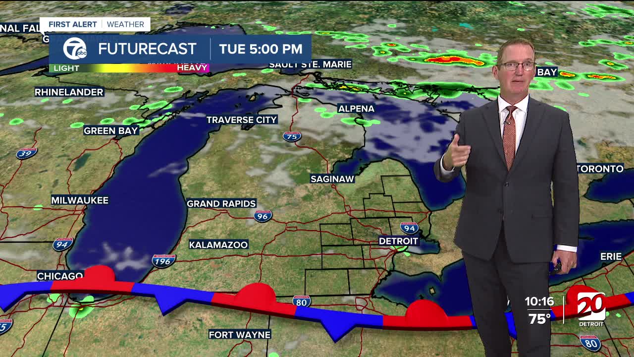
Tuesday: Mostly sunny with clouds building in the afternoon. Chance for showers and thunderstorms in the afternoon and evening is at only 20%. Any storm will have more very heavy rain. Highs in the low 90s with the heat index in the mid to upper 90s. Winds: SSW 5-10 mph.
Wednesday: Scattered shower and storms chances, more south than north. Highs in the mid 80s. Winds: NNE 5-15 mph.
Connect with 7 First Alert Meteorologists on Facebook and X:
Facebook: Dave Rexroth , Hally Vogel, Marisa Woloszyn, Mike Taylor
