
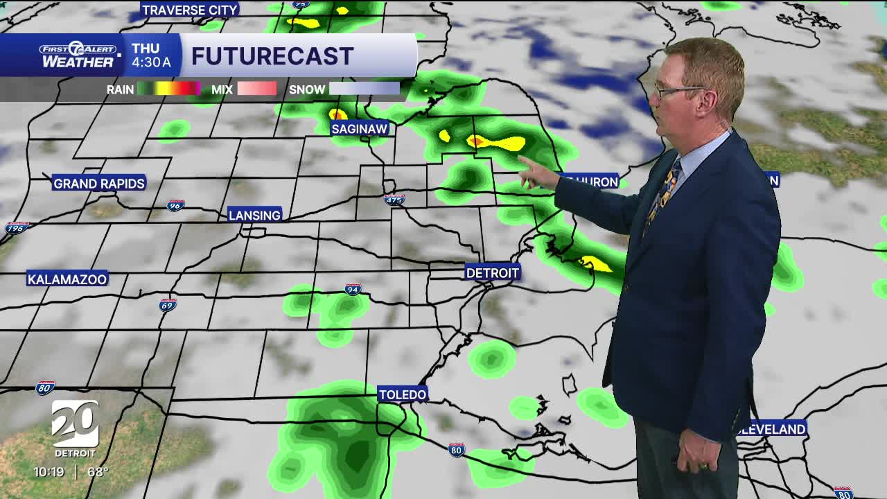


Some more showers should move through overnight. There is a chance of thunder too, but we are not expecting any severe storms. Storms are possible Thursday afternoon. A few of those could be strong with gusty winds and heavy rain.
Friday through the weekend should be mostly dry. If there is any rain at all it would be Friday afternoon south of I-94. The general trend during this weekend period is a warm up.
This weekend will be in the 80s for highs without lots of humidity. Next week is the week before the 4th of July and it will finally start to feel very hot and humid with highs in the 90s Monday through Wednesday, and perhaps even a day or two longer. The dew points should be in the low to mid 70s making it very uncomfortable.
Watch the forecast below
Tonight: Scattered showers and storms are likely. Lows will be around 60°. Winds: S 5 mph.
Thursday: Partly sunny with afternoon shower and storm chances. Highs in the upper 70s to near 80°. Winds: SW 5-15 mph.
Friday: Partly sunny with highs in the mid 70s and 76° in Detroit. Winds: NE 5-15 mph.
Connect with 7 First Alert Meteorologists on Facebook and X:
Facebook: Dave Rexroth , Hally Vogel, Marisa Woloszyn, Mike Taylor
