


Tomorrow will be a dry day with bright sun. Thursday we should get more rain east than west, but all have a chance. Cooler temps will take over from Halloween to the weekend.
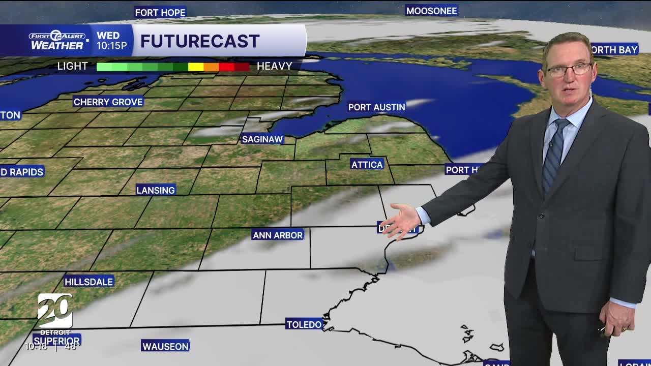
Clouds will slowly increase Wednesday as a storm system moves out of the Ohio River Valley and into the Northeast. We'll be on the edge of this system, bringing rain showers across Metro Detroit late Wednesday night/Thursday morning. Rain showers will continue Thursday, but taper down throughout the day. Highs climb into the low 50s.
A few showers may linger Friday for trick-or-treaters Friday night. Highs will be in the low 50s Friday.
See the latest forecast in the video below
Tonight: Mostly clear. Lows in the mid to upper 30s outside Detroit to 41° in the city. Winds: NE 10 mph.
Wednesday: Partly to mostly sunny and dry. Highs will stay in the mid 50s with 57° in Detroit. Winds NE: 15-25 mph.
Thursday: Rain is likely with a bit more east versus west. Highs will be in the low 50s with 53r in Detroit. Winds: NNE 10-25 mph.
Connect with 7 First Alert Meteorologists on Facebook and X:
Facebook: Dave Rexroth , Hally Vogel, Marisa Woloszyn, Mike Taylor
