


Watch the forecast below
Tonight clouds linger and temperatures ease back into the lower to mid 30s. As clouds increase there could be a sprinkle or light passing rain shower overnight. Some fog is possible again as the winds fade late.
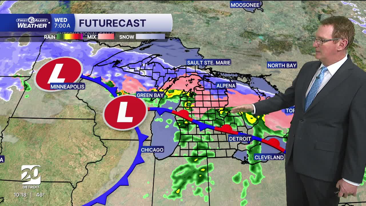
Clouds increase across the Detroit area on Tuesday as the next system begins to organize to our southwest. It will be a mostly cloudy day with highs in the mid to upper 40s across the Detroit area, which is still well above average for mid-February. Winds stay relatively light, gradually turning more easterly through the day. Most of the daytime hours remain dry, but moisture starts to increase late, and there is a growing chance for rain to develop Tuesday night and continue into Wednesday as a more organized system moves in. We'll keep an eye on the temps well north of Detroit - since Freezing Rain will be possible to start Wednesday morning north of the metro area.
That Wednesday system will bring unsettled weather. Expect the rain to start before dawn Wednesday with more rain in the morning than in the afternoon. By the time it is done, there should be a widespread quarter to half inch of rain. Temperatures stay very mild with highs expected to reach the upper 40s and low 50s with 58° in Detroit, Overall, it’s a gray, damp, and breezy midweek day with minor travel impacts possible during steadier rain in the morning rush. As a side note, this setup does not strongly favor thunderstorms but a few rumbles are possible. There is just enough lift and slightly milder air aloft that a brief, isolated rumble of thunder can’t be ruled out, mainly late morning. Severe weather is not expected around here but strong storms are possible south of us.
Tonight: Becoming mostly cloudy with areas of fog and a light rain shower possible. Lows near 34. Winds: WSW 5-10 mph.
Tuesday: Mostly cloudy with highs in the mid 40s, with 48° in Detroit. Winds: S 5-15 mph.
Wednesday: Rain likely in the morning and a chance in the afternoon. Highs back well into the 50s with 58° in Detroit. Winds: SSW 10-20 mph.
Connect with 7 First Alert Meteorologists on Facebook and X:
Facebook: Dave Rexroth , Hally Vogel, Marisa Woloszyn, Mike Taylor
