
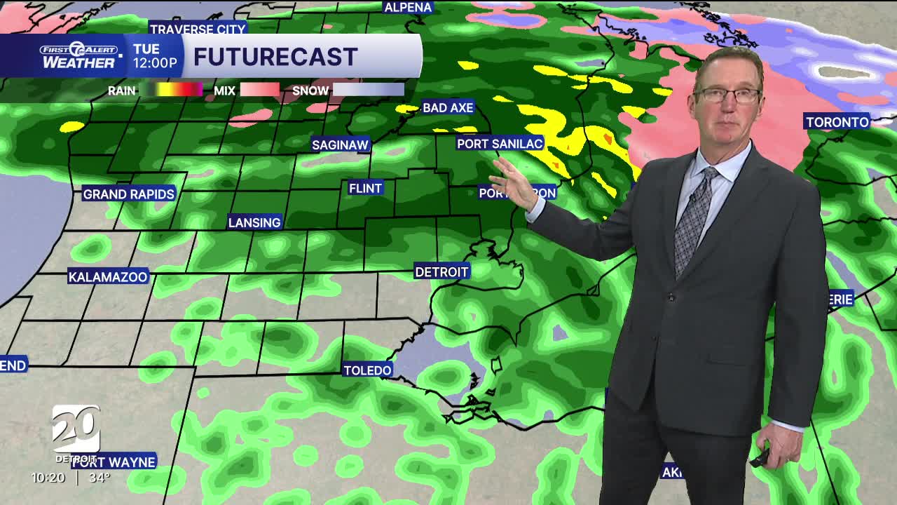


A storm system will bring rain showers across the area Tuesday morning, starting around 6 am. Temperatures will be close to the freezing mark at this time, leading to possible areas of freezing rain and icy conditions. Temperatures will hold close to freezing through mid morning keeping the threat for icy roads through rush hour. Temperatures will climb in the afternoon into the upper 30s and may even hit 40° in a few spots. As the storm starts to move out during the evening, colder air will move in a bring the chance for some light snow into early Tuesday night north of Detroit. Accumulation will be little to none.
Quiet weather moves in for Wednesday and most of Thursday with mostly to partly cloudy skies and highs in the mid to upper 40s.
Another storm system moves in Thursday late through Friday. This should be only rain with all of the warmth around. Lingering moisture this coming weekend will go from a mix to snow as it cools down again.
HERE IS YOUR FULL FORECAST:
Tonight: Cloudy. Freezing drizzle possible near morning. Lows in the upper 20s to near 30°. Winds: Light
Tuesday: Freezing rain possible to start the morning with rain likely from mid morning to the afternoon. Highs in the upper 30s, to near 40°. Winds: Variable 5-10 mph.
Wednesday: Mostly cloudy with high temps in the low 40s. Winds: SW 5-10 mph.
Connect with 7 First Alert Meteorologists on Facebook and X:
Facebook: Dave Rexroth , Hally Vogel, Marisa Woloszyn, Mike Taylor
